-
Landform
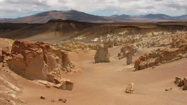
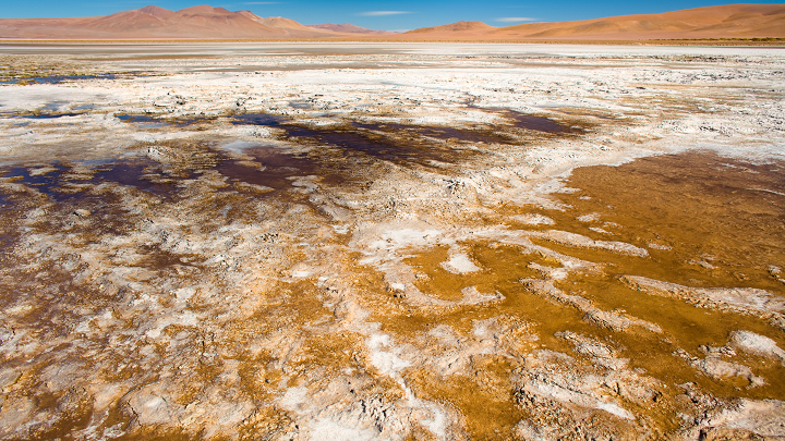
The Quisquiro or Loyoques salt flat is a beach-type salt flat located in the north of the Antofagasta Region, south of the Tara salt flat, with surface lagoons of variable extension and a brine layer at a depth of a few decimeters. Its tributaries are the Salado River in the south, which rises in the Ojos del Salado meadows, and the Loyoques stream in the north.
Its main morphometric and climatological characteristics are:
- altitude: 4150 m
- surface of the basin: 676 km².
- surface area of the salt flat: 80 km².
- surface area of the lagoons: 5 km².
- precipitation: 150 mm/year
- potential evaporation: 1500 mm/year
- average temperature: 1 °C